NASA Langley Satellite Support for ARM North Slope of Alaska
Financial support provided by DOE ASR Program through Interagency Agreement DE-SC0000991/003.
NASA Langley Satellite Support for ARM North Slope of Alaska
Financial support provided by DOE ASR Program through Interagency Agreement DE-SC0000991/003.
NASA Langley Satellite Support for ARM North Slope of Alaska
Financial support provided by DOE ASR Program through Interagency Agreement DE-SC0000991/003.
|
Latest Imagery The NASA Langley Clouds and Radiation Group produces near real time imagery 24x7 in support of the ARM program. The latest imagery we have is shown below and you can click on the picture to go to our product viewer to look at current and past cloud product imagery over the ARM domains. |
 Latest imagery from the ARM NSA (GOES-15)
|
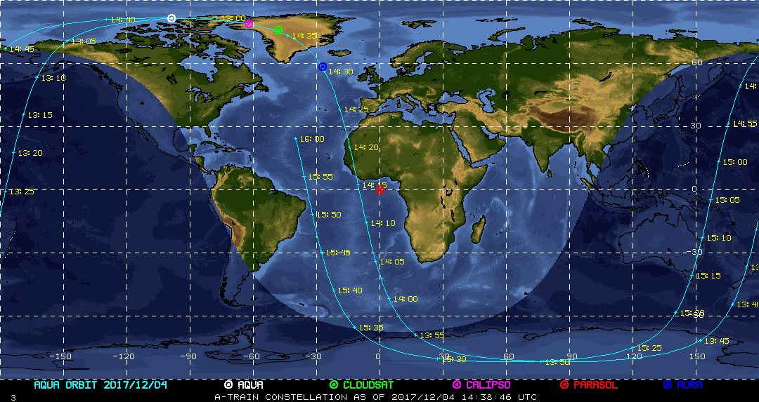
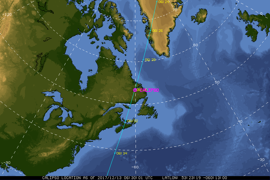
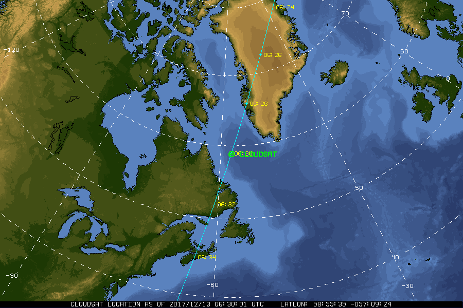
| Current Location of A-Train Satellites (updated every 30 sec) | ||
|
|
|
| A-Train | Calipso | CloudSat |
|
|
NASA Fact
The acronym "NASA" stands for National Aeronautics and Space Administration.
- + Freedom of Information Act
- + Budgets, Strategic Plans and Accountability Reports
- + The President's Management Agenda
- + Privacy Policy and Important Notices
- + Inspector General Hotline
- + Equal Employment Opportunity Data Posted Pursuant to the No Fear Act
- + Information-Dissemination Priorities and Inventories
- + USA.gov
- + ExpectMore.gov
- NASA Official: William Smith
- Website Curator: Louis Nguyen
- + Contact Langley
- + Contact Team Members