Langley SATCORPS group support for The Cloud, Aerosol and Monsoon Processes Philippines Experiment (CAMP2 Ex) (CAMPEX)
Langley SATCORPS group support for The Cloud, Aerosol and Monsoon Processes Philippines Experiment (CAMP2 Ex) (CAMPEX)
Langley SATCORPS group support for The Cloud, Aerosol and Monsoon Processes Philippines Experiment (CAMP2 Ex) (CAMPEX)
NASA Langley support for CAMP
GOES-16 Image Animation Processed for CAMP
Click image to see latest products.
This page is a placeholder, as more information becomes available, we will add information to the page.
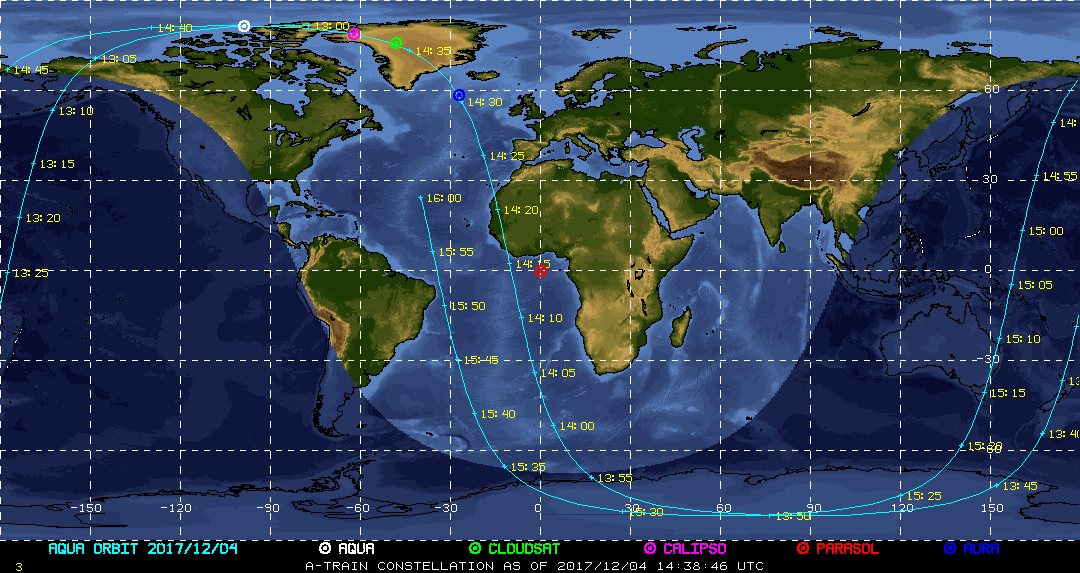
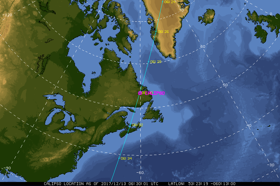
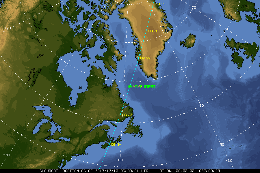
| Current Location of A-Train Satellites (updated every 30 sec) | ||
|
|
|
| A-Train | Calipso | CloudSat |
|
|
NASA Fact
On August 25, 1932 Amelia Earhart set three records for women flyers: the first non-stop U.S. crossing, the longest distance record, and a coast-to-coast record time.
- + Freedom of Information Act
- + Budgets, Strategic Plans and Accountability Reports
- + The President's Management Agenda
- + Privacy Policy and Important Notices
- + Inspector General Hotline
- + Equal Employment Opportunity Data Posted Pursuant to the No Fear Act
- + Information-Dissemination Priorities and Inventories
- + USA.gov
- + ExpectMore.gov
- NASA Official: William Smith
- Website Curator: Louis Nguyen
- + Contact Langley
- + Contact Team Members