Langley Satellite Support for High Ice Water Content (HIWC) - Darwin Campaign
Langley Satellite Support for High Ice Water Content (HIWC) - Darwin Campaign
Langley Satellite Support for High Ice Water Content (HIWC) - Darwin Campaign
|
Quick LinksSatellite Imagery
+ C01+ C02 + C04 + C2RC Cloud Products
+ Cld Top Height+ Cld Bot Height + RGB + ICING + DEFF + REFF + TAU + IWP + LWP + Overshoot. Top Cloud Product Archive
+ MTSAT-2R + MTSAT-1R |
|||||


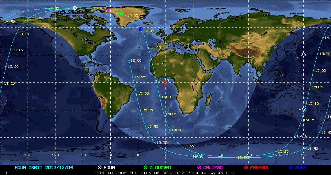
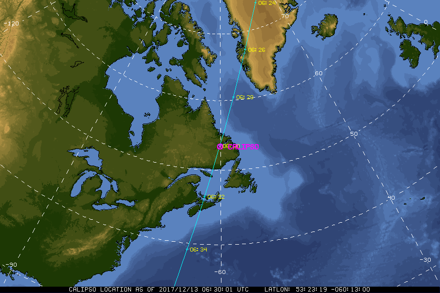
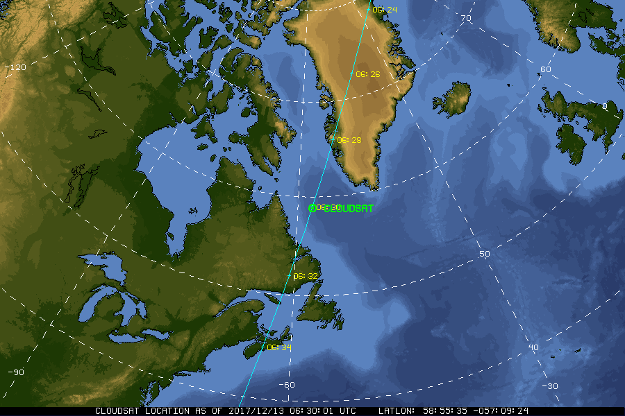
| Current Location of A-Train Satellites (updated every 30 sec) | ||
|
|
|
| A-Train | Calipso | CloudSat |
|
|
NASA Fact
On March 16, 1926, Dr. Robert H. Goddard successfully launched the first liquid fueled rocket. The launch took place at Auburn, Massachusetts, and is regarded by flight historians to be as significant as the Wright Brothers flight at Kitty Hawk.
- + Freedom of Information Act
- + Budgets, Strategic Plans and Accountability Reports
- + The President's Management Agenda
- + Privacy Policy and Important Notices
- + Inspector General Hotline
- + Equal Employment Opportunity Data Posted Pursuant to the No Fear Act
- + Information-Dissemination Priorities and Inventories
- + USA.gov
- + ExpectMore.gov
- NASA Official: William Smith
- Website Curator: Louis Nguyen
- + Contact Langley
- + Contact Team Members