NASA - SatCORPS - Field Experiments
Langley GOES Satellite Support for SEAC4RS
Latest Satellite Imagery and Products for SEAC4RS Field Experiment Click image to see latest satellite imagery and products. |
Quick Links3 Hour GIF Loops
+ GOESW WV loop+ GOESW IR loop + GOESE WV loop + GOESE IR loop Cloud Products
+ RGB false color+ IWP + LWP + Cld Top Height + Cld Base Height + Phase GOES Single Img
+ IR+ VIS + WV Archive
GOESW Cloud Prod
GOESE Cloud Prod
GOES-Floater Img
GOESW Sat Img
GOESE Sat Img
KML Files
|


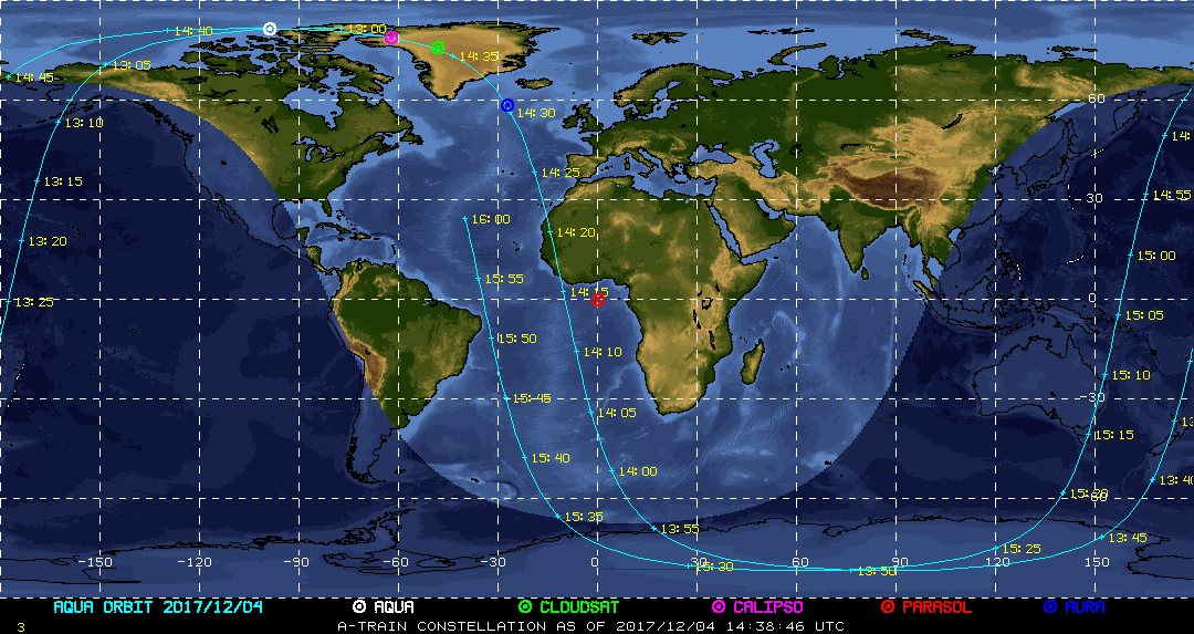
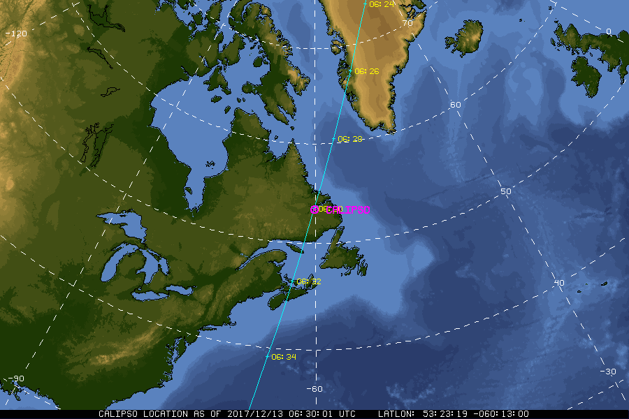
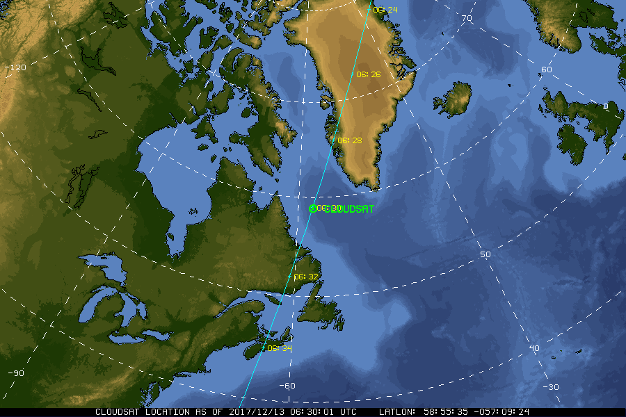
| Current Location of A-Train Satellites (updated every 30 sec) | ||
|
|
|
| A-Train | Calipso | CloudSat |
|
|
NASA Fact
The term "aeronautics" originated in France, and was derived from the Greek words for "air" and "to sail."
- + Freedom of Information Act
- + Budgets, Strategic Plans and Accountability Reports
- + The President's Management Agenda
- + Privacy Policy and Important Notices
- + Inspector General Hotline
- + Equal Employment Opportunity Data Posted Pursuant to the No Fear Act
- + Information-Dissemination Priorities and Inventories
- + USA.gov
- + ExpectMore.gov
- NASA Official: William Smith
- Website Curator: Louis Nguyen
- + Contact Langley
- + Contact Team Members