NASA Langley Support of AMIE 2011
Financial support provided by DOE ASR Program through Interagency Agreement DE-SC0000991/003.
NASA Langley Support of AMIE 2011
Financial support provided by DOE ASR Program through Interagency Agreement DE-SC0000991/003.
NASA Langley Support of AMIE 2011
Financial support provided by DOE ASR Program through Interagency Agreement DE-SC0000991/003.
Processing for the AMIE field experiment has concluded on June 20, 2012
Latest Image Processed for AMIE Field Experiment
Click image to see latest products.
FY2E GAN
|
MTSAT2 MANUS
|
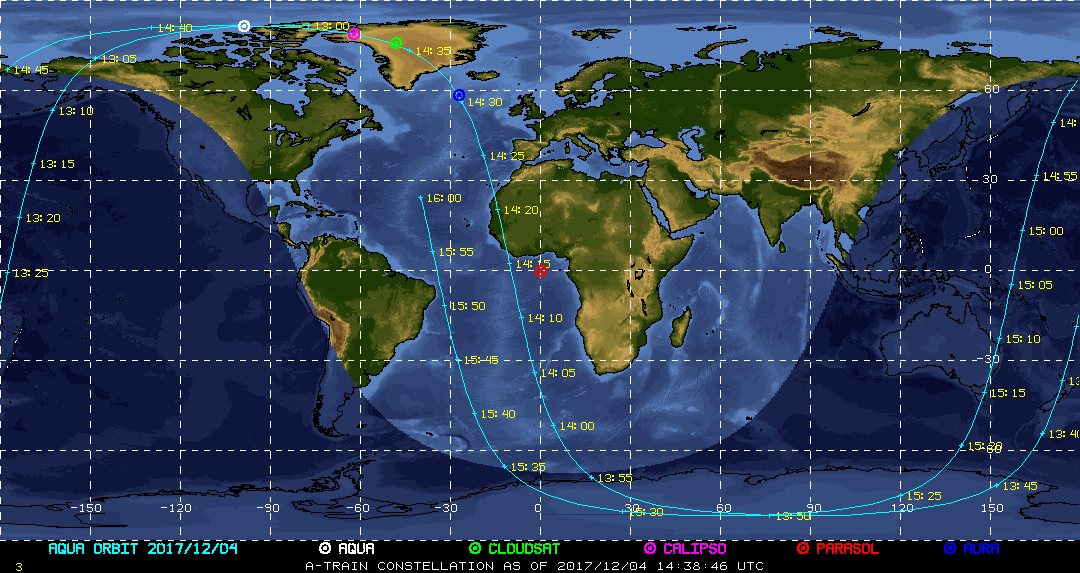
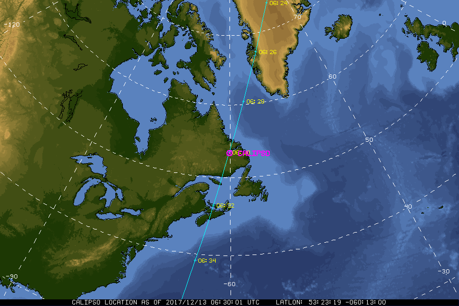
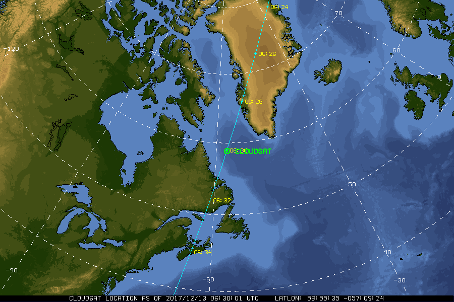
| Current Location of A-Train Satellites (updated every 30 sec) | ||
|
|
|
| A-Train | Calipso | CloudSat |
|
|
NASA Fact
Cumulonimbus clouds, or rain producing clouds, may stretch from their base near the Earth's surface to an altitude of 10 kilometers (33,000 feet) or higher.
- + Freedom of Information Act
- + Budgets, Strategic Plans and Accountability Reports
- + The President's Management Agenda
- + Privacy Policy and Important Notices
- + Inspector General Hotline
- + Equal Employment Opportunity Data Posted Pursuant to the No Fear Act
- + Information-Dissemination Priorities and Inventories
- + USA.gov
- + ExpectMore.gov
- NASA Official: William Smith
- Website Curator: Louis Nguyen
- + Contact Langley
- + Contact Team Members